 |
| Shetucket River Dam, Norwich, CT |
This Fall I'm determined to participate in as many local Walktober events as possible. In Connecticut, Walktober 2019 events stretch from September 21st - November 2nd. Because I recently moved to Norwich, I'm focusing on these local walks to learn more about the city I live in. Norwich is the southern most city in The Last Green Valley, a National Heritage Corridor that extends north to central Massachusetts. The rural landscape of this valley is 77% farmland and forest. It is one of the last areas that has not been completely destroyed by light pollution. There are areas in the corridor where there is actually enough darkness to have a clear view of brilliant starlight in the night sky.
 |
| Our volunteer Walktober leader points the way |
The power company has access to the dam because they maintain it, which means part of the walk is on a comfortable, level dirt road.
 |
| We learned about some native trees in the surrounding forest |
We learned that it is not just maple trees that can be tapped for their sap. Birch and sycamore sap can also be used to make a syrup. Birch smells a bit like root beer and is used to make birch beer. Sycamore has a very low sugar content and is said to taste like butterscotch. The liquid sap is mostly water so is it can be used as pre-filtered water in times of drought. Good to know if you're ever lost in a forest and happen to have some tapping tools with you!
 |
| The white of the upper part of this tree trunk tells us it is a sycamore tree |
 |
| Occum Hydro-electric power plant on Shetucket River, Norwich, CT |
 |
| These timbers are used to maintain and repair the dam |
 |
| My new neighbor, JoEllen joined me for the walk! |
 |
| We were able to get pretty close to the river and dam. |
 |
| During the dry season, you can walk along the top of the dam |
 |
| If you look closely, you can see the wood timbers that make it possible for eel to wiggle up and over |
 |
| On the far side of the dam, you can see a fish ladder |
Connecticut's state fish, shad, were not seen north of the dam once the textile mills and dams were built in the 1800's. This changed when a fish ladder was built by Norwich Public Utilities. The company also trucks 10% of the fish further up river. This returns shad and other fish to their native area.
 |
| A view from above shows loose timbers and logs |
 |
| The red painted rock indicates no fishing is allowed between this point and the dam. |
 |
| North of the dam the river reflects the surrounding woods |
 |
| Shetucket River |
At this point our walk changed from easy dirt road to narrow trail along the bank of the Shetucket River. The Shetucket begins north of Norwich near Willimantic. Four miles north-east of Norwich, the Quinebaug River spills into the Shetucket, which ends when it joins the Yantic River to form the Thames River estuary.
 |
| Shetucket River - Walktober 2019 |
 |
| So exciting to see this evidence of beaver activity along the river! |
 |
| We continued along the trail toward a view of the old dam |
 |
| Across the river we see remnants of the old dam |
 |
| The granite of this old dam was laid in 1820 and was still in use in 1865 |
 |
| You can still see the old hickory timbers under water |
 |
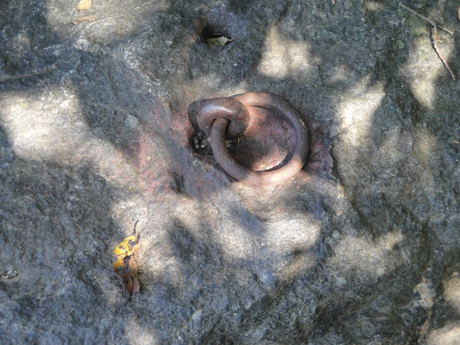
| Another remnant of the 19th century dam |
 |
| The view to the south was beautiful.... |
 |
| ...as was the view to the north |
 |
| I thoroughly enjoyed our walk on the Shetucket River - much better than walking on a treadmill! |
See books by Laura S. Pringle on Amazon
The Pringle Plan is a series of educational guides.
©2019 Laura S. Pringle. All Rights Reserved.


No comments:
Post a Comment
Share your comments.